Regular readers of the blog might have been wondering what is happening this year. I can only apologise that I haven’t been able to write my daily update during the 2022 season. I also have a backlog of other sites to write-up which will get posted when I have the chance. In this post I am going to concentrate on the GPR survey. We have some exciting news on the magnetometry front too which I will save for another day.
Last season (see previous posts for August 2021) we surveyed roughly half of the field to the north of the drive at Gorhambury. This field is called “Blackgrounds” although the team usually call it “the macellum field” after the building excavated there in 1938 by Miss K. M. Richardson. We had completed the magnetometry survey of this field in 2016 (Fig. 1).

The magnetometry survey revealed the course of Watling Street very clearly. Some buildings show extremely clearly, and there are many indications of walls seen in the results as white lines. Remembering that something magnetic has a positive and negative pole (north and south if you like), why do walls show as negative? Mid-grey in these figures represents “neutral”, or the average background value for magnetism. Topsoil and archaeological sediments are often more magnetic than subsoil which is why things like the aqueduct show so clearly. A flint wall is not magnetic, but it occupies a space in the slightly more magnetic surrounding deposits, and therefore shows as a negative reading. If you zoom in to the image you can start picking out many walls, and some make clear rooms and buildings.
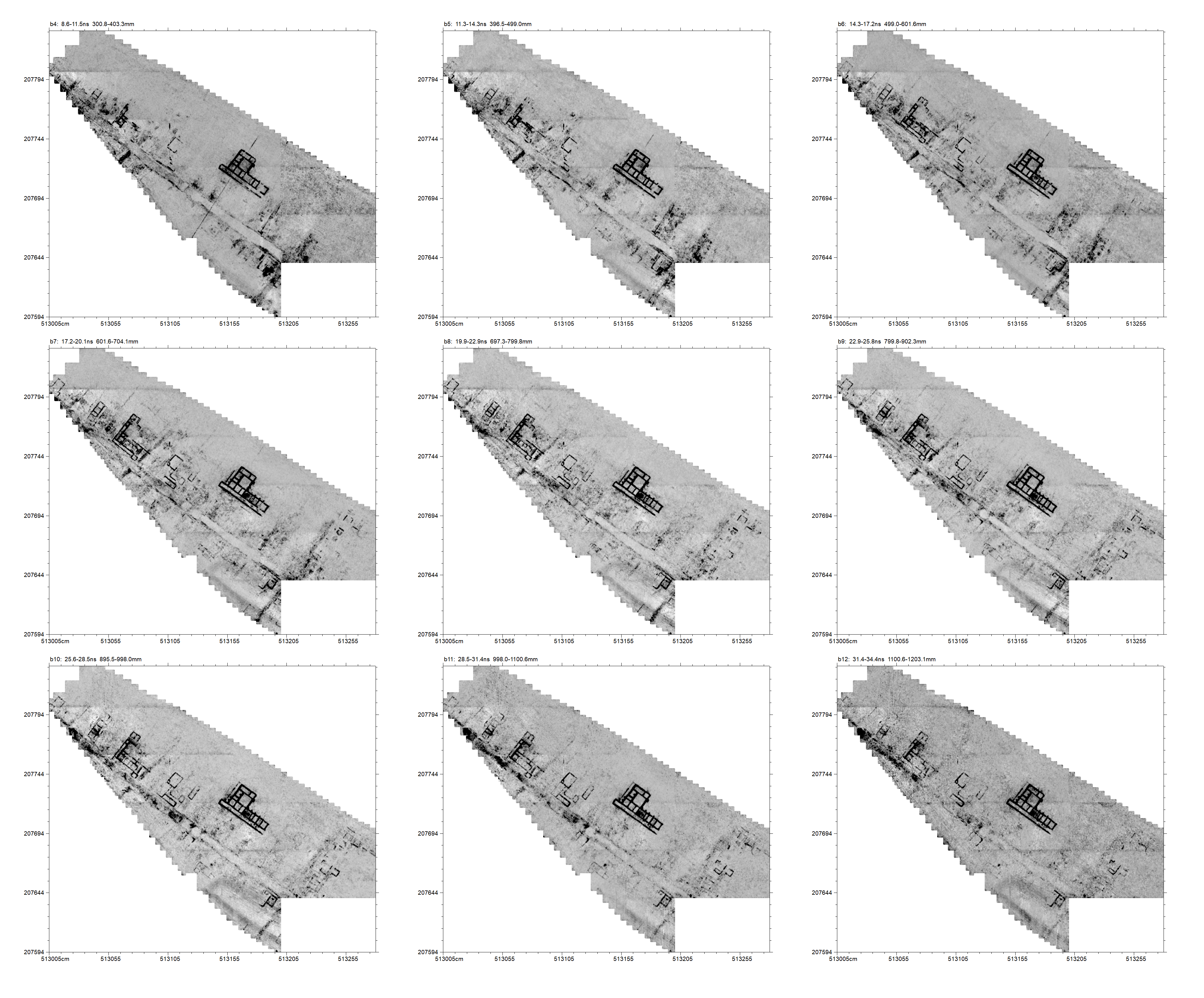
Last summer we completed about half of this field using Ground Penetrating Radar (GPR). We use the UCL Institute of Archaeology’s Mala GX with a 450mhz antenna. Many thanks to the IoA for allowing the use of this equipment! We mainly collect data in 40x40m grid squares at 0.5m transect intervals. The radar sends a pulse into the ground roughly every 3cm (Figure 2).

The GPR results last summer were really nice, but left us hanging as some really fascinating looking features were starting to show (see “A happy ending”). Well, this year’s survey has not disappointed! Up until now, the survey results have been great but mostly we have found the sorts of things one would expect in the town: roads, small buildings, big buildings, pits, kilns and ditches. This season’s results have had us asking “what is THAT building?” Why? Because they are huge and of unexpected forms. Figure 3 shows all the results up to the end of August 24th.

Figure 3 shows the Insula XXXVII Building 1 very clearly. This building has been long known and can be seen very clearly as a parch mark on Google Earth. The line of the 1955 ditch — the first century boundary of the town which went out of use, according to Frere, in c.125 — doesn’t show very clearly in the GPR data but is important. Why? Well, the buildings to the NW of the ditch (i.e., outside the early town) all look like the sort of domestic / small business properties one would expect and have seen elsewhere in the town. The buildings to the SE of the ditch, and north of Watling Street, have a very different feel to them.

Figure 4 shows what I am going to call for the purposes of this blog post “block 1”. Here, we seem to have traces of some buildings around an open courtyard. The building in the north-east corner looks well preserved, the others are harder to make out (further data processing might help). The southern edge along Watling Street appears empty of buildings apart from one small on in the SE corner.

Figure 5 shows block 2. I have used an “overlay” analysis to try and improve the visibility of the building. On the NE side of the building we have a range 80m long with a 60m colonnade. It has about 20 columns. To give you a sense of scale, the nave of St Albans Abbey is 85m long. The colonnade looks out over the River Ver which runs to the north. The building seems to be subdivided into many smaller rooms. At either end is a projecting wing, the one on the east end having an apse.
Behind this main range there appears to be a corridor, then an open space, and then another very long building. This one has a central protruding room and two wings, but does not seem to have the multitude of internal rooms of the northern range. Behind this is what might be another courtyard with more rooms in the southern corner.
This building begs many questions. Is it all one phase? Are there connecting rooms or corridors (there are hints)? Do some rooms have floors surviving? Some of these questions can, hopefully, be answered with a programme of detailed data analysis: producing more time slices using different parameters and filters as well as looking at the all-important radargrams.
The biggest question is, however, what is this building? I’ve shown the plan to a few people and no-one has come back to me with an unequivocal answer. The word “palace” has been mentioned by several. If it is a “palace”, to whom does it belong? There are definitely more questions than answers at the moment.

Figure 6 shows block 3. Starting from the NE corner, we have faint hints of a road surface which appears to have gone out of use and been built over. Then there is a large structure, again with an apse. This might be an upmarket house? Behind that is the most curious area. There appears to be a courtyard building with rooms on the inside on the southern side, but rooms on the outside on the northern edge. Aligned SW-NE is an aisled building with quite large foundations. This building is roughly 45m long and 16m wide. It is at a slightly different alignment to the buildings in the next block and appears to cut by then suggesting it is earlier and went out of use. In the courtyard, perhaps attached to the aisled building are two large rooms. Further out into the courtyard, and quite deep in the radargrams, is another building only visible as fragments but with large buttresses.

Figure 7 shows block 4 which is bounded on its SW side by Watling Street (Niblett and Thompson Street 14) and on its SE by Street 24. Its NW side is bounded by block 3 discussed above and the NE side faces the River Ver. Starting on the SW side, we can see two, probably, buildings facing onto Watling Street. Then behind them there appears to be a series of buildings within another courtyard. It is quite hard to make out what is inside and what is outside, but it certainly appears as a coherent, and almost symmetrical arrangement of rooms and buildings with that area. In the NE corner, just outside “courtyard” is a large single room building some 10m by 13.5m in size. Projecting from this at an odd angle is another feature, maybe a drain? Street 24 is an important road as it heads to the so-called “theatre gate” and there is some evidence of the road crossing the Ver at this point and going into the field opposite, but that is the topic for another blog post.
At the bottom of Figure 7 there is another building on the other side of Street 24. This building is the “macellum” excavated in 1938 which I will discuss in another post.
Surveying at Verulamium has always been very satisfying, and we have got some excellent results since the first season in 2013. The latest results will, however, generate a lot of discussion as to what these buildings are, and what they tell us about this fascinating Roman city.
Many thanks to the team for all their work this year especially Ruth, Pauline, Rhian, Jim, Mike, Nigel, Graeme and John. More updates soon!